Bighorn Wild and Scenic Trail Run 2017 (DNF)

Photos from the 20174 Run

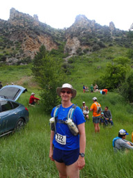
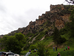
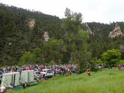
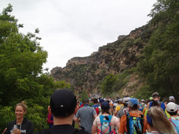
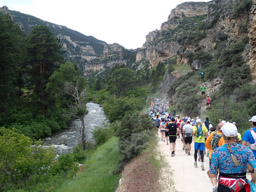
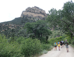
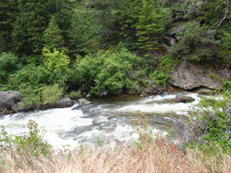
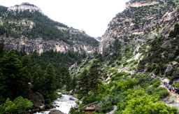
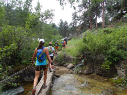
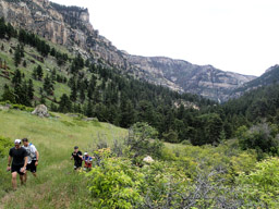
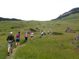
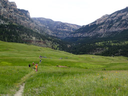
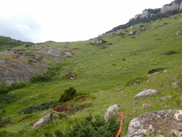
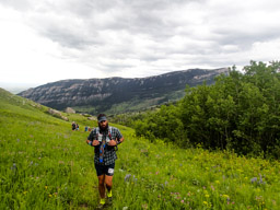
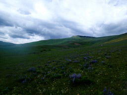
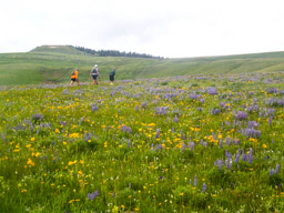
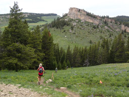
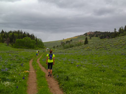
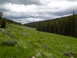
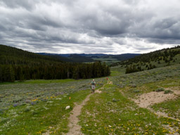
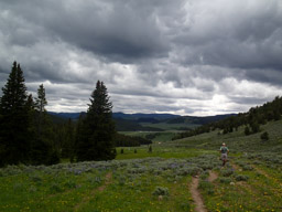
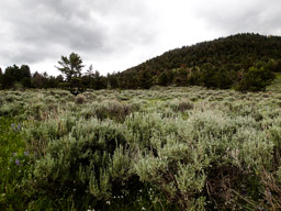
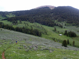
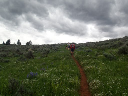
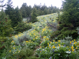
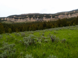
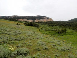
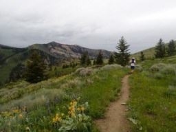
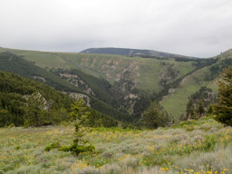
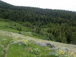
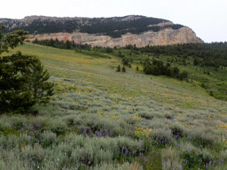
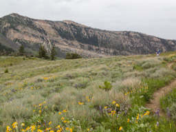
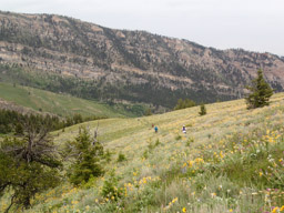
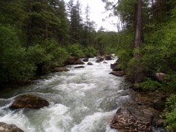
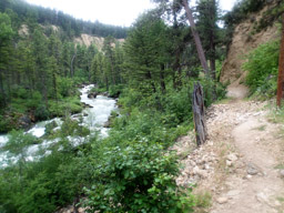
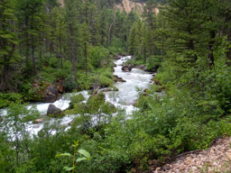
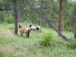
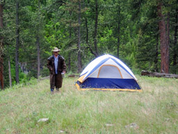
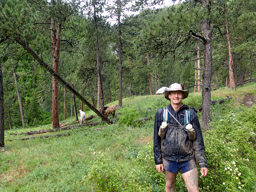
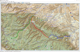
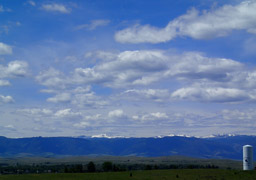
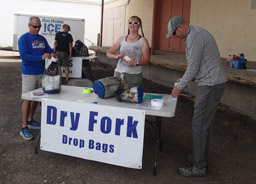
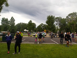
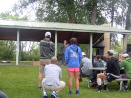
The course is beautiful but once the rain started things got very difficult. The run is held in the Bighorn Mountains near Dayton, Wyoming. There was heavy overcast clouds so the sky is washed out in many race day images.

Sky and Mountains west of Sheridan, WY
Drop bag dropoff
Drop bag dropoff
Packet pickup and medical check
Pre-race meeting in Sheridan, WY. Ominous clouds.
Bad news about the predicted weather. Rain coming.
Earl, clean at the race start.
Beautiful canyon walls, at the start.
Lots of runners waiting to start.
We're off. I'm in the back quarter of the racers.
Crowd of runners heading up Tongue River Canyon road.
Beautiful canyon and rock.
Tongue River
Tongue River
Runners wind up the Tongue River Trail, early in the race.
Luxury, a bridge. Do you see the photographer? I didn't  until I saw this photo.
Luxury, a bridge. Do you see the photographer? I didn't until I saw this photo.
Looking back at the trail we climbed.
Up, up, up to the crest.
Looking back at runners climbing up from the Tongue River Canyon.
Still more climbing.
It's a long way up.
It's a long way up.
Wild flowers and threatening clouds.
Wildflowers.
Wildflowers.
Down at last. The runner in red would pass me near mile 60 and finish.
Upper Sheep Creek Aid Station in the distance.
Runners (walkers) and the clouds.
Beautiful desert wildflowers and sage.
Descending towards Dry Fork Aid Station.
Dry Fork AS in the distance.
Sage
Sage
Isolated cabin
Isolated cabin
Really forbidding clouds. The rain will start within in two hours.
Trail through the flowers and spruce.
High canyon walls. Much of the run seems to be between rock walls.
Sage and rock.
Sage and rock.
Up high.
Up high.
Beautiful views.
Beautiful views.
Down the trail goes, into the spruce.
Fields of wildflowers.
Climbing over another ridge.
Dropping down towards Footbridge
Little Bighorn River, photographed from the swinging bridge.
Littlehorn Trail after footbridge.
Little Bighorn River
Horses at Cathedral Rock.
Wyoming cowboy. The rain is just starting.
Cathedral Rock AS Saturday morning.
Bighorn Course from my Garmin.

© 2018. non-commercial use is allowed.