
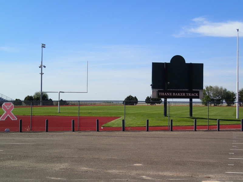
The track and finish line.
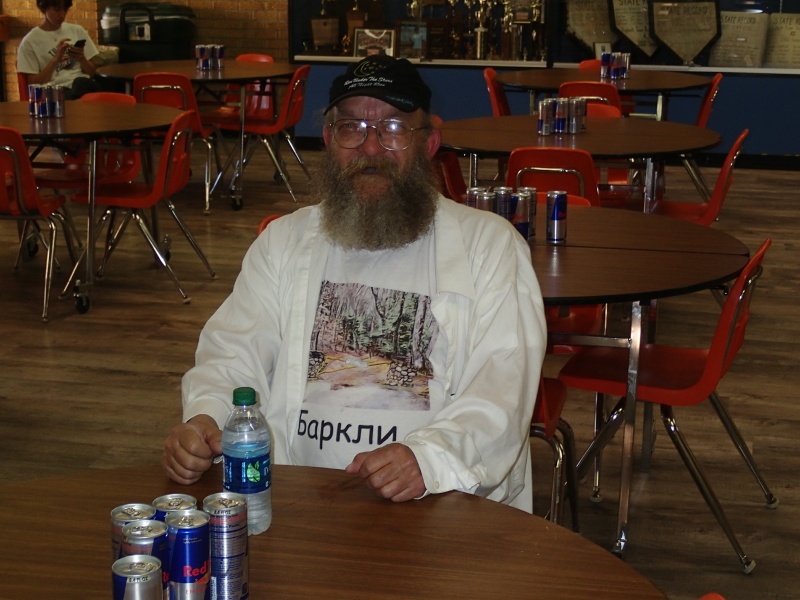
Gary Cantrell, solo runner.

Sandra Cantrell, saint.
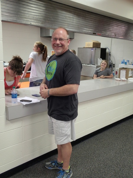
Dave W., Race Director.
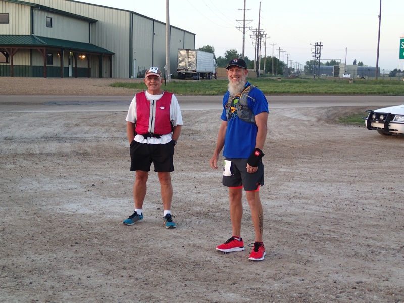
Jim Perry and friend at the start.
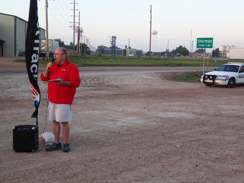
Dave giving some last minute race announcements in Texhoma, TX.

Me (Earl) still clean relatively unsweaty. Notice the orange shirt, trying to avoid being roadkill.
.JPG)
Map | The Texoma Wheat Growers parking lot and grain elevators, the Start Line.
Map | Where we'll be in a few minutes. Still only 59 F out there.
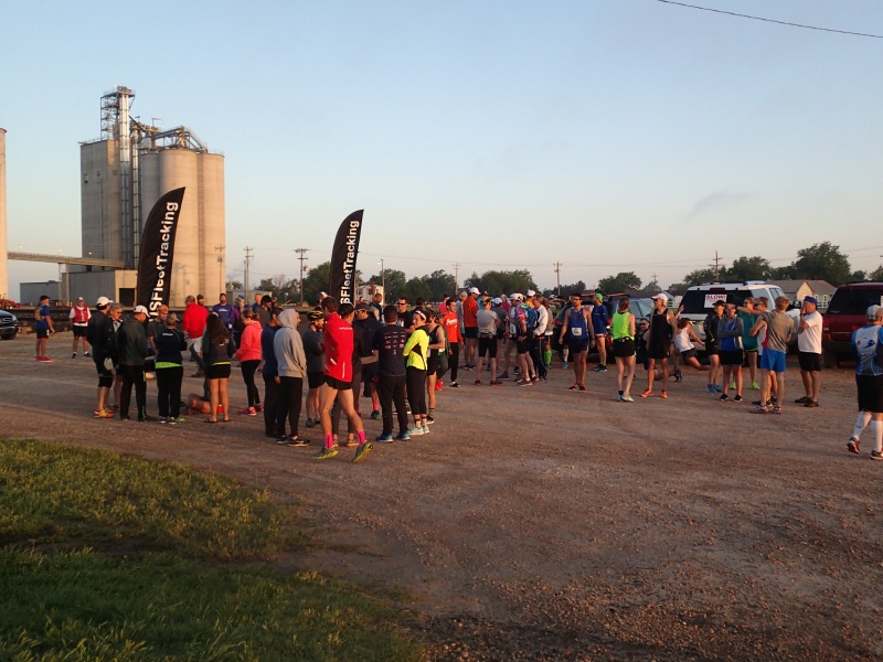
Map | Teams mingle before the start.
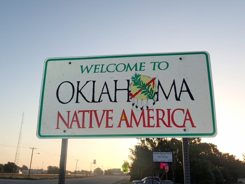
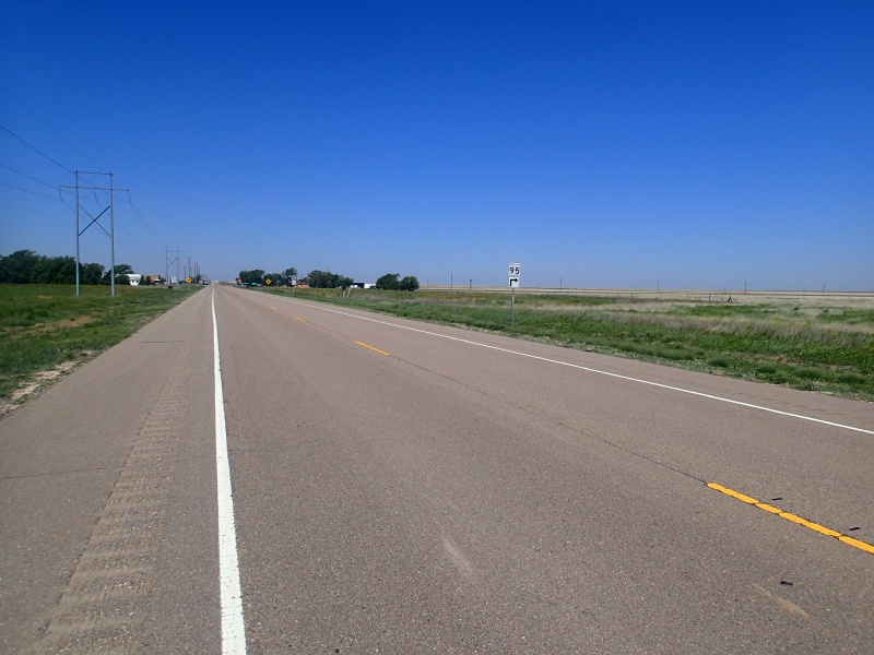
Map | We're off, heading north into Oklahoma on Hwy 95.
.JPG)
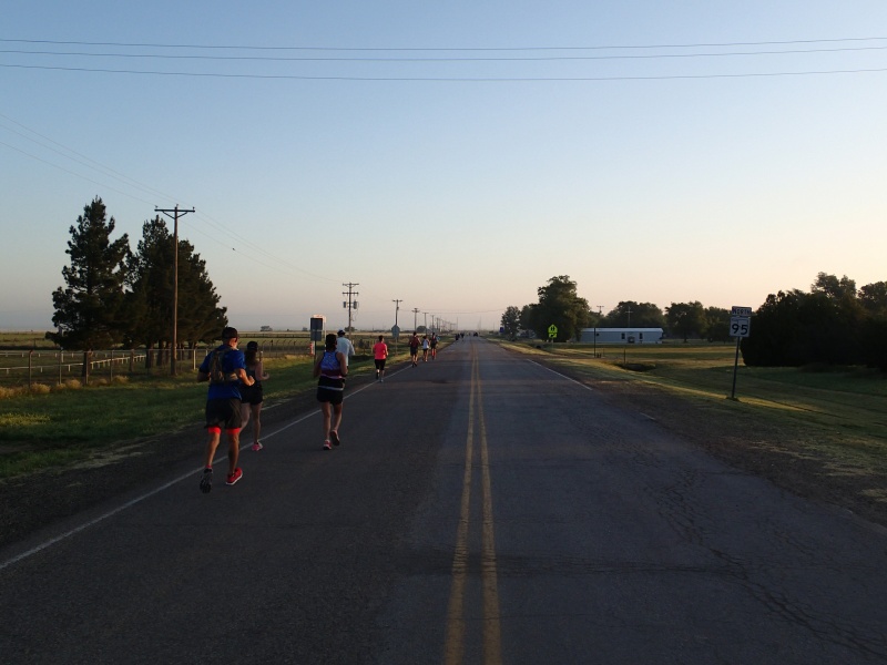
Map | There's a whole lot of flat out there.
Map | Relay teams with the Texoma Elevators in the background.
.JPG)
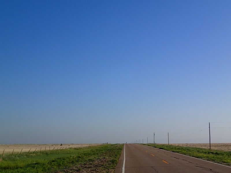
Map | Clear Blue Sky.
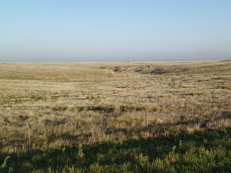
Map | Rangeland.
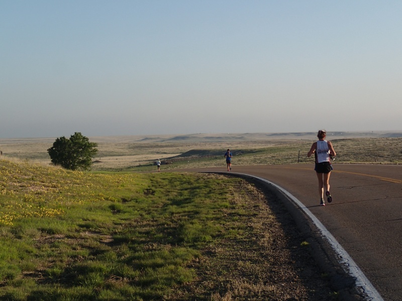
Map | Down the first hill.
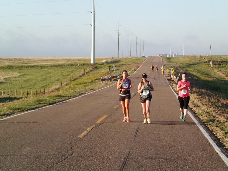
Map | Crew vehicles and runners with the elevators in the background.
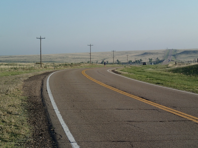
Map | A dry wash and a hill. Who said this was flat?

Map | Can still see the Texoma elavators.

Map | A sandy cut bank.
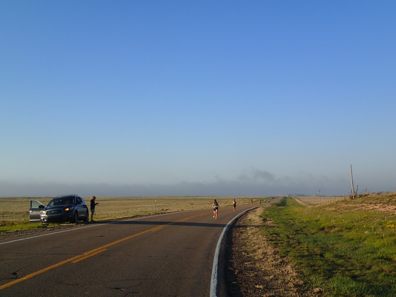
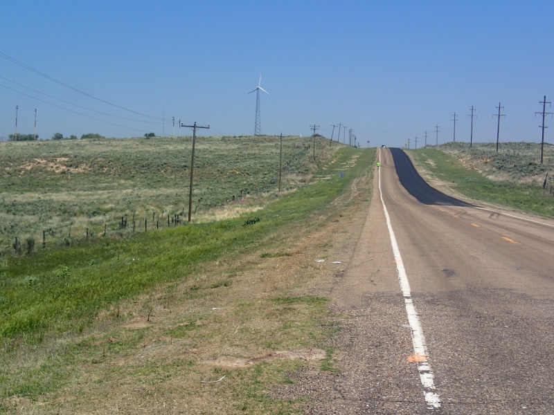
Map | Lone runner in the distance.
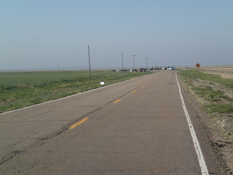
Map | Past Aid Station #1, > 11 miles, and the Texoma Elevators are still visible. They finally sink below the horizon about 15 miles into the race.
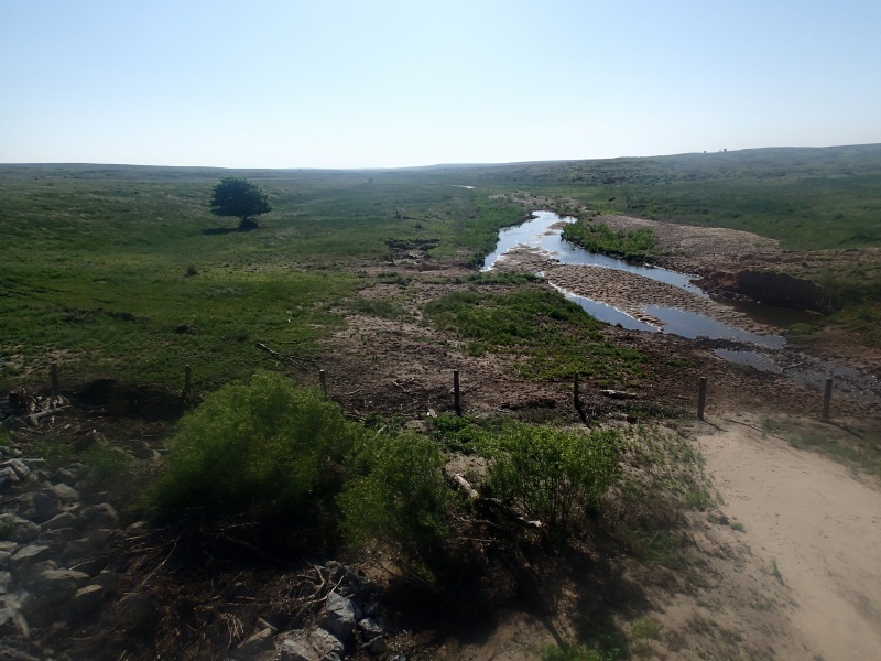
Map | They aren't all dry washes.

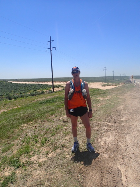
Map | Me, tired and sweaty.
Map | Four Corners. Aid Station #2 and time to turn north off US Highway 412, and back onto State Highway 95.
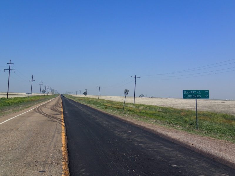
Map | Just a 17 mile run north to Kansas.
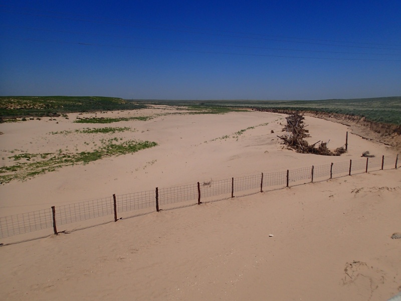
Map | A big sandy wash.
Map | Me, even more tired and sweaty. Resorting to music.
Map | The school windmill. Aid Station #3 is in the school parking lot.
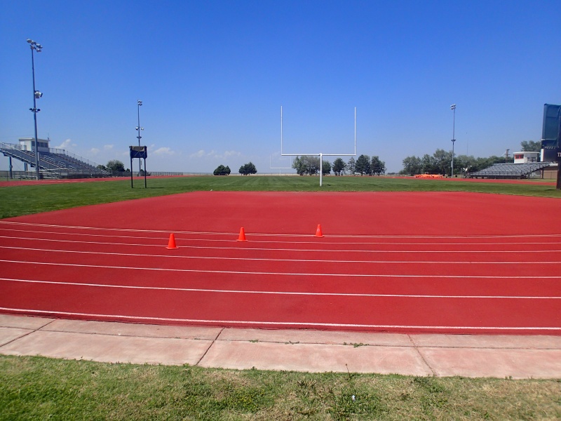
Finally at Elkhart High School, just a partial lap around the track.

Map | The praerie starts just on the other side of the track.
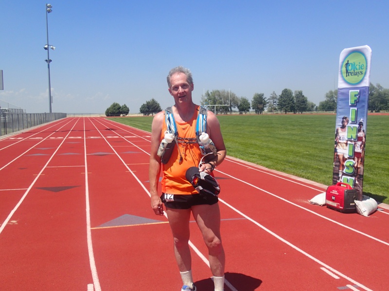
Map | Hot, tired, sweaty but done.
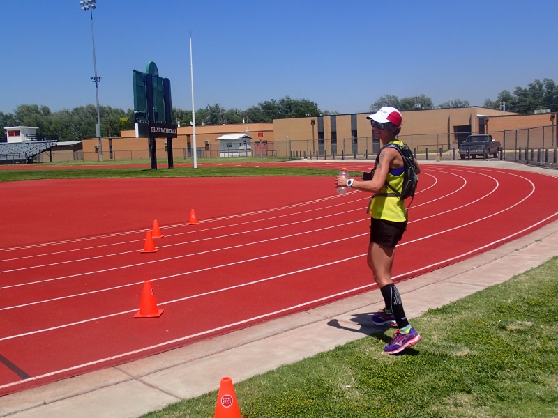
Map | First woman solo runner heads out onto the track.
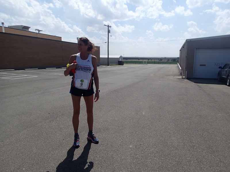
Map | Third woman solo finisher. The top three ladies came in right after each other taking the third, fourth and fifith spots, overall.
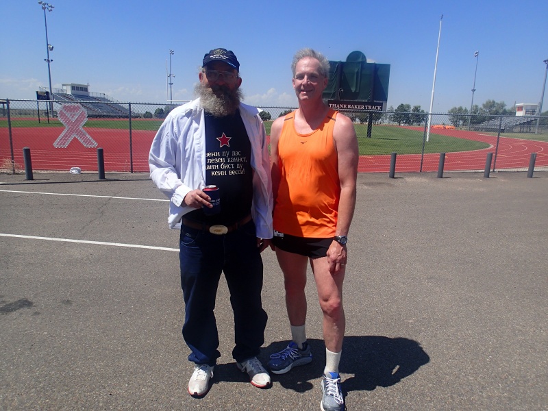
Map | Gary Cantrell and myself after the race. He had a foot injury and had to drop after 22 miles or so.
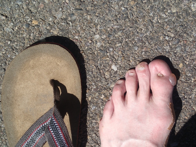
Map | Spectacular blister on the big toe, didn't even know I had it until I took off the shoe. No pain at all. It was fine until the next morning, when one of our dogs stepped on it and burst it. Owe!